Service Details
Our Service

Need help? contact our experts
+91 958-477-9663Search Service
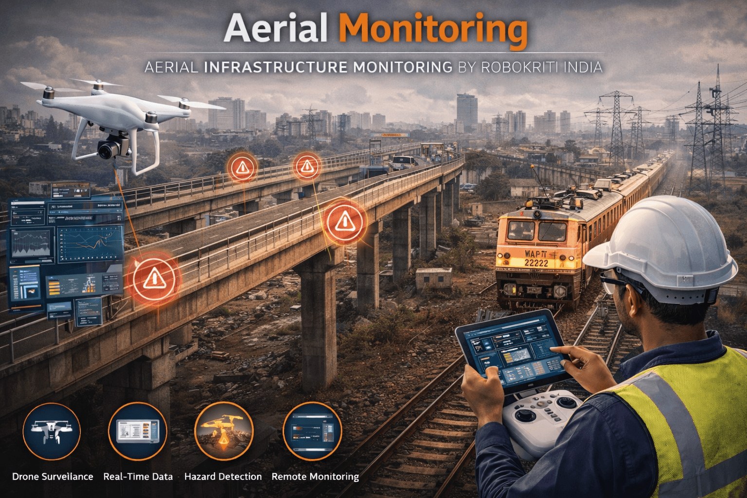
Our aerial monitoring services use drone and sensor-based platforms to inspect large and inaccessible areas efficiently. Aerial data collection improves visibility, reduces manual inspection risks, and supports faster, safer, and more accurate infrastructure assessments.

Ajay Malah
Manager
Aerial Monitoring Solutions
At Robokriti India, our aerial monitoring solutions provide a comprehensive view of infrastructure and environmental conditions from above. Using drone-based and aerial sensing technologies, we enable efficient inspection, surveillance, and assessment of large or hard-to-reach areas.
Aerial monitoring enhances visibility, reduces manual inspection risks, and supports faster, more accurate data collection across diverse operational environments.

Real-Time Aerial Data Capture
Our aerial platforms capture real-time visual and sensor data, including high-resolution imagery, video feeds, and environmental measurements, enabling immediate assessment of site conditions.
Enhanced Inspection & Risk Detection
Aerial monitoring allows early identification of structural issues, encroachments, environmental changes, and potential safety risks that may not be visible from ground-level inspections.
Timely detection supports preventive action, improves safety, and minimizes operational disruptions.
Data Integration & Analysis
Captured aerial data is integrated with digital platforms to support analysis, mapping, and performance evaluation for informed decision-making.
Efficient & Scalable Operations
Our aerial monitoring solutions are scalable and adaptable, making them suitable for monitoring railways, bridges, industrial sites, and large infrastructure networks.
Improved Safety & Operational Insight
By reducing the need for manual inspections in hazardous or inaccessible areas, aerial monitoring improves worker safety while delivering accurate insights for efficient infrastructure management.